
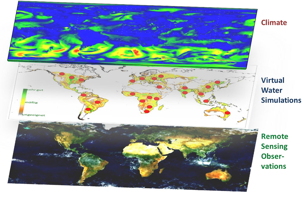
Fig.1: The global remote sensing based monitoring approach to green and blue water flows, water use efficiency and agricultural yield. Global climate data is dynamically downscaled and drives an ensemble of high resolution agro-hydrological model runs at selected test sites. In order to get global and actual data on water use their dynamic growth curves are compared with high resolution COPERNICUS Sentinel remote sensing data to determine green and blue water flows, water use efficiency and agricultural yield.